
When India Meteorological Department issued a sweeping red alert for Bihar this Saturday, the message was clear: brace for impact. Across all 38 districts of the state, residents are facing a perfect storm of high-speed winds, torrential rain, and dangerous hailstorms. The warning isn't just bureaucratic jargon; it's a direct response to a western disturbance churning over neighboring states that has turned the region into a meteorological battleground.
The situation is particularly dire in northern Bihar, where rainfall has already outpaced other regions. But here’s the twist: while the entire state is under threat, seven specific districts in the northeast have been flagged for "heavy" rather than just "severe" precipitation. This distinction matters because it signals a higher risk of flooding and structural damage.
A Statewide Weather Emergency
The IMD’s advisory covers every corner of Bihar, from the northern plains to the southern belts. For the first time in recent memory, such a blanket red alert suggests a systemic failure of atmospheric stability across the region. The agency warned of thunderstorms accompanied by lightning strikes—a deadly combination that has claimed lives in previous seasons.
Here are the key facts you need to know:
- All 38 districts are under red alert for strong winds and heavy rain.
- Seven northeastern districts face an upgraded threat level for heavy rainfall.
- Hailstorms are expected in multiple areas, posing risks to crops and infrastructure.
- Schools closed in four districts as a precautionary measure.
- No relief expected for at least three days, with conditions persisting until May 13.
The science behind this chaos is rooted in a "western disturbance"—a cyclonic circulation active over western Uttar Pradesh and Uttarakhand. Think of it like a weather engine pumping moisture eastward, dumping it directly onto Bihar. The result? Unpredictable gusts hitting speeds of 30 to 40 km/h in some areas, with potential for much stronger localized bursts.
Hotspots Under Siege
While the whole state is watching the skies, seven districts in northeastern Bihar have been singled out for special attention. These include Purnia, Saharsa, Katihar, Madhepura, Supaul, Araria, and Kishanganj.
In these zones, the forecast calls for heavy rain alongside thunder, lightning, and hail. The wind speed alert here is specific: 30-40 km/h sustained winds, which might sound moderate, but when combined with sudden squalls and low visibility, they become hazardous. Farmers in these areas are likely bracing for crop damage, especially since hail can devastate young plants in minutes.
Meanwhile, 31 other districts—including major urban centers—are predicted to see moderate-to-heavy rainfall. This includes parts of southern Bihar like Patna, Begusarai, Nalanda, and Bhojpur. Oddly enough, while the rain brings temporary relief from the scorching heat, it also introduces new dangers. Lightning strikes remain a top concern, particularly during nighttime hours when visibility is poor.
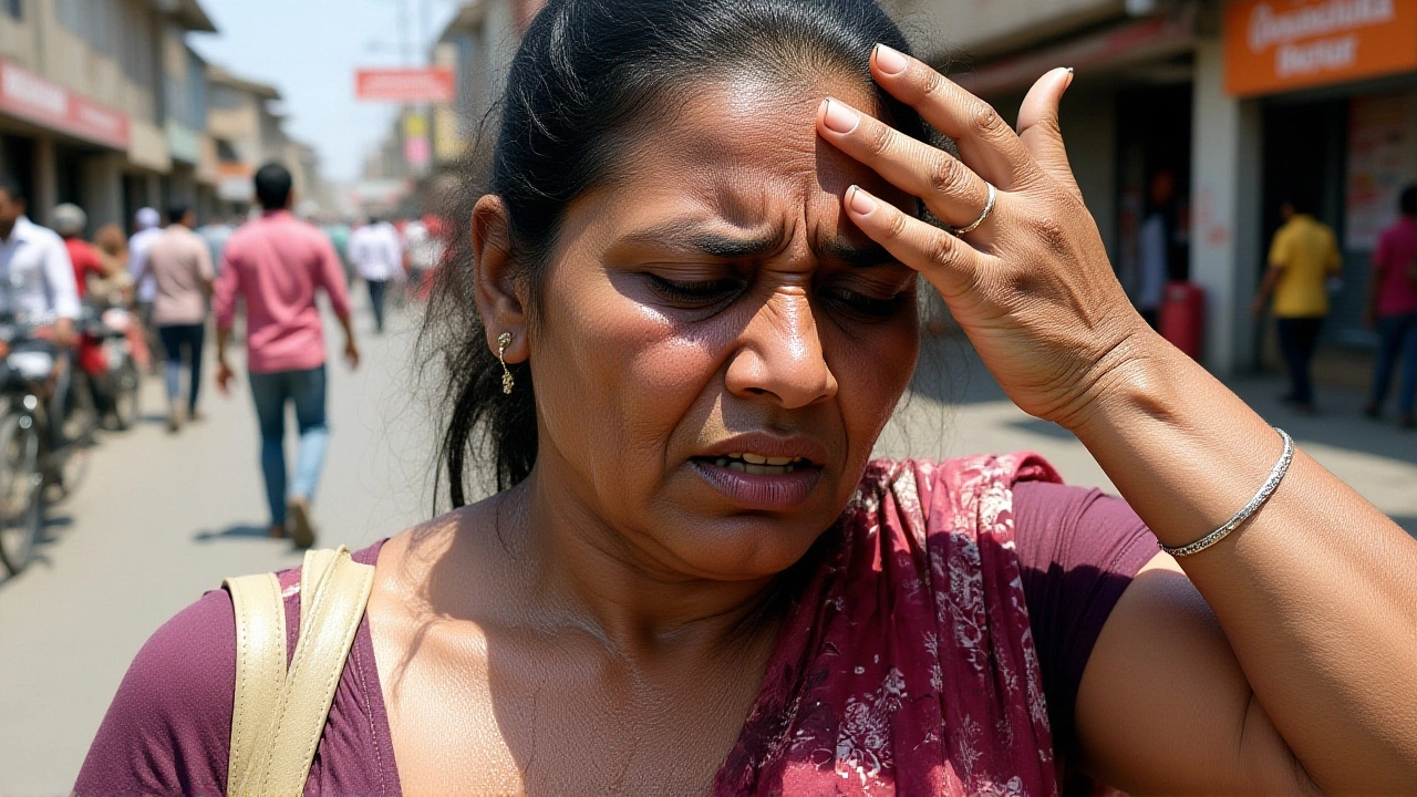
Immediate Impact on Daily Life
The administrative response has been swift, if reactive. In Chapra, Rohtas, Siwan, and Gopalganj, schools and Anganwadi centers have been shut down. This isn’t just about convenience; it’s about safety. With roads turning into rivers and power lines sagging under the weight of wet branches, keeping children indoors is the only logical move.
But the disruption goes deeper. Video reports from the ground describe a scene of near-paralysis. Continuous rainfall for 24 hours has flooded streets, damaged homes, and disrupted supply chains. One report described the situation as "disastrous," affecting both rural villages and urban neighborhoods alike. The sheer volume of water has overwhelmed drainage systems, leading to stagnant pools that breed disease and hinder movement.
Residents in Patna, the capital, have seen their city transformed. Earlier this week, a separate storm event hit the city with winds reaching 135 km/h. That single incident uprooted between 600 and 1,000 trees (reports vary), knocked out power across the city, and resulted in nine deaths statewide, including four in Patna alone. The current alert feels like an encore to that tragedy, raising fears of a repeat scenario.
What Experts Are Saying
Meteorologists emphasize that this isn’t an isolated event. The western disturbance driving this weather system is persistent, meaning no significant change is expected by Sunday. In fact, the IMD predicts that sporadic rainfall will continue through May 13 in various districts. Temperatures, meanwhile, will remain subdued—no spike in heat, but also no dry spell to offer respite.
"The atmosphere is highly unstable," noted one local weather analyst. "When you combine high humidity with rapid temperature drops and strong upper-level winds, you get explosive convection. That’s what’s causing the hail and lightning."
The human cost is already mounting. Beyond the immediate danger of falling trees and electrical hazards, there’s the economic toll. Crops in the fields are vulnerable, small businesses are losing revenue due to closures, and emergency services are stretched thin responding to accidents and flood-related incidents.

Looking Ahead: No Quick Fix
If you’re hoping for a break, don’t hold your breath. Authorities warn that there is no sign of relief for at least the next three days. The advice from officials and media outlets is consistent: stay indoors, avoid unnecessary travel, and steer clear of tall trees or open fields during thunderstorms.
The coming weekend poses the highest risk for lightning strikes. Residents are urged to unplug sensitive electronics and seek shelter in sturdy buildings. For those living in low-lying areas, evacuation plans should be reviewed now, not later.
This event serves as a stark reminder of how climate volatility is reshaping life in Bihar. What was once considered seasonal rain is becoming increasingly erratic and destructive. As the state braces for more bad weather, the question isn’t just about survival—it’s about adaptation.
Frequently Asked Questions
Which districts in Bihar are under the highest threat?
Seven northeastern districts—Purnia, Saharsa, Katihar, Madhepura, Supaul, Araria, and Kishanganj—have been issued a specific alert for heavy rainfall, hail, and strong winds. All 38 districts in the state are under a general red alert for severe weather conditions.
Why are schools closed in some districts?
Schools and Anganwadi centers in Chapra, Rohtas, Siwan, and Gopalganj have been temporarily closed due to safety concerns. Heavy rain, flooding, and the risk of lightning strikes make commuting dangerous for students and staff.
How long will the bad weather last?
The India Meteorological Department predicts that rainy conditions will persist in various districts until at least May 13. There is no expectation of significant relief for the next three days, with continuous cloud cover and sporadic heavy showers likely.
What caused this severe weather system?
A western disturbance, characterized by a cyclonic circulation over western Uttar Pradesh and Uttarakhand, is driving the instability. This system is transporting moist air eastward into Bihar, resulting in thunderstorms, hail, and high winds.
Are there any casualties reported so far?
While the current alert focuses on prevention, a recent storm earlier this week caused nine deaths statewide, including four in Patna. That event involved winds up to 135 km/h and uprooted hundreds of trees. Authorities are urging caution to prevent further loss of life.
What should residents do during the red alert?
Residents should stay indoors, avoid traveling unless absolutely necessary, and stay away from open fields or tall trees during thunderstorms. It is also advised to unplug electronic devices to protect against power surges caused by lightning strikes.